Imperial Drone Mapping LLC
Professional drone mapping, photogrammetry, and aerial inspections backed by 30+ years of experience in surveying, geodesy, and construction.
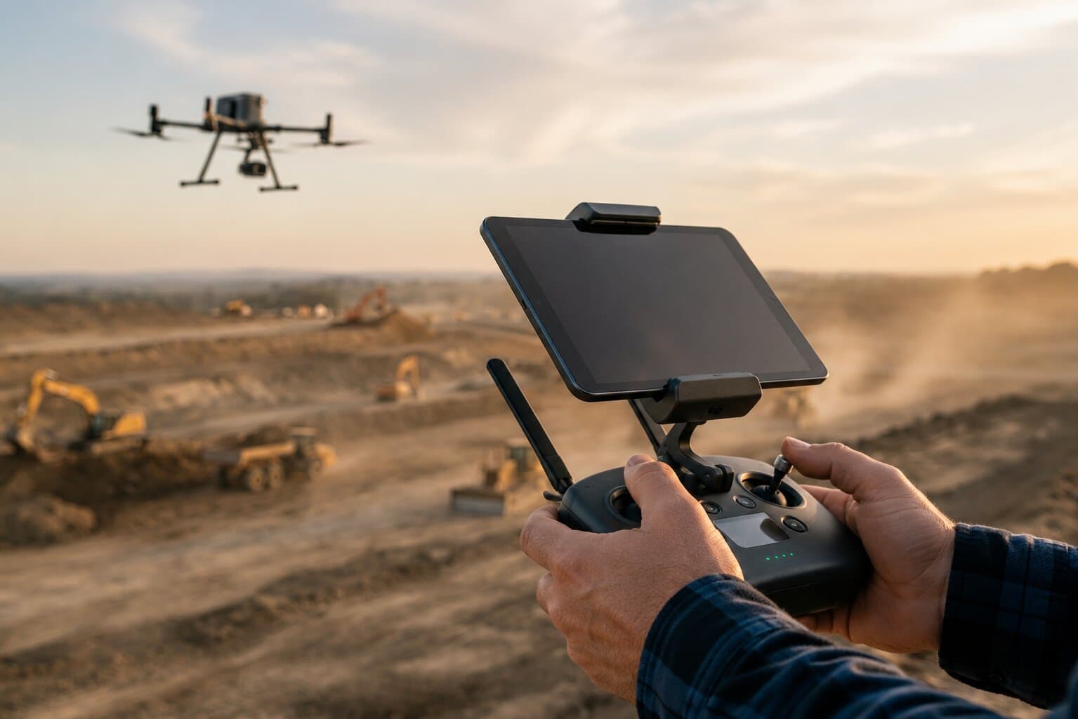
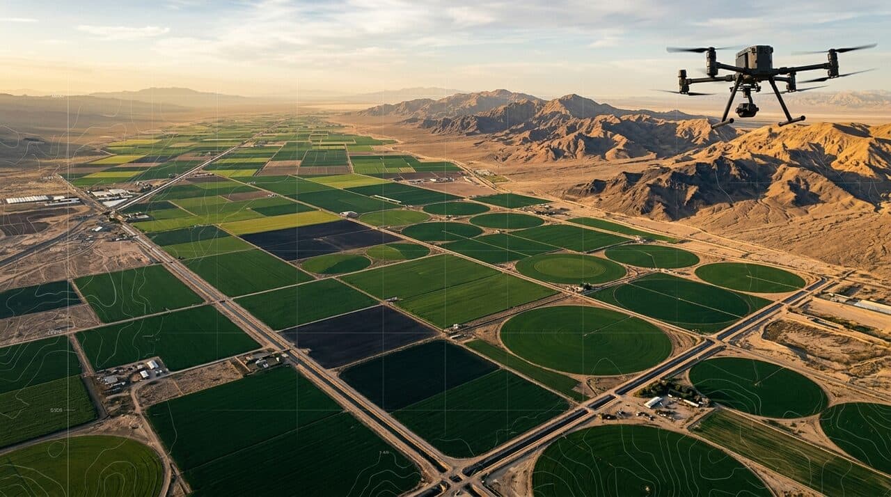
Imperial Drone Mapping LLC delivers modern aerial mapping and data services built on decades of hands-on engineering. We combine advanced drone technology with deep technical knowledge in topography, geodesy, photogrammetry, and construction to give clients accurate, reliable, and actionable results.
From construction sites to agricultural fields, we turn aerial data into measurable insight — orthomosaics, 3D models, contours, and volume calculations engineered for real-world decisions.
Years of Experience
Core Services
Service Areas
A full suite of drone-based solutions for construction, agriculture, and infrastructure.
 01
01Aerial Mapping & Photogrammetry
High-precision aerial surveys turned into accurate, georeferenced maps and measurable datasets.
- Survey-grade orthomosaic mapping
- Georeferenced and scaled outputs
- Ground control point integration
- Large-area coverage in a single flight
 02
02Aerial Imaging
Crisp aerial photography and video that showcases your site, project, or property from above.
- High-resolution stills and 4K video
- Progress and marketing imagery
- Property and site overviews
- Custom angles and flight paths
 03
03Construction Monitoring
Track progress, verify earthwork, and document every phase with repeatable aerial surveys.
- Periodic progress documentation
- Cut/fill and earthwork verification
- As-built vs. design comparison
- Stakeholder-ready reporting
 04
04Agricultural Mapping
Field-scale crop and land intelligence to support smarter, data-driven farming decisions.
- Field boundary and acreage mapping
- Crop health and stand assessment
- Drainage and topography insight
- Season-over-season comparisons
 05
05Aerial Inspections
Safe, detailed inspections of structures and infrastructure without scaffolding or downtime.
- Roof, structure, and facility inspection
- Infrastructure and utility review
- Hard-to-reach and high-risk areas
- Detailed visual documentation
 06
063D Models & Survey Deliverables
3D models, orthomosaics, DSM/DTM, contours, and volume calculations — engineering-ready data.
- Orthomosaics & textured 3D models
- DSM / DTM surface models
- Contour generation
- Volume and stockpile calculations
 07
07Construction Staking
Design coordinates taken from the plans to the ground, so crews build exactly where they should.
- Building corners and foundation layout
- Grade, offset, and slope stakes
- Road, utility, and drainage alignment
- Points taken straight from your plan set or CAD file
 08
08Pre-Construction Site Survey
A complete, measured view of existing site conditions before construction begins, ready for planning, design, and estimating.
- Site boundaries, acreage, and existing features
- Topographic surface, elevations, and contours
- Existing-conditions base map for planning and design
- CAD, PDF, or GIS deliverables for pre-construction teams
Our work is grounded in real engineering experience. Decades in the field mean we understand not just how to fly a drone — but how to deliver data that engineers, builders, and landowners can trust and act on.
Surveying & Geodesy
Accurate spatial reference and measurement, grounded in proven survey methodology.
Photogrammetry
Turning imagery into precise, georeferenced models and measurable deliverables.
Construction
Field-tested understanding of how sites are built, monitored, and verified.
Local, responsive, and ready to map projects across the region.
Proudly serving the Imperial Valley and Mexicali. Available for regional and nationwide enterprise projects—contact us to discuss mobilization requirements for your specific site.
On-Demand Remote Topographic Processing
Already have flight data from DroneDeploy or similar software? We process it remotely—anywhere—into professional engineering deliverables: orthomosaics, 3D models, contours, and volume calculations. No site visit required.
Tell us about your project and we’ll get back to you by email.
For maximum efficiency and precision, we operate a 100% digital quoting and project management workflow. Please submit your project details below.
info@imperialdronemapping.com
Address
908 L.M. Legaspi Ave, Calexico, CA 92231
Hours
Monday – Saturday. Sunday by appointment for special or urgent projects.
Service Areas